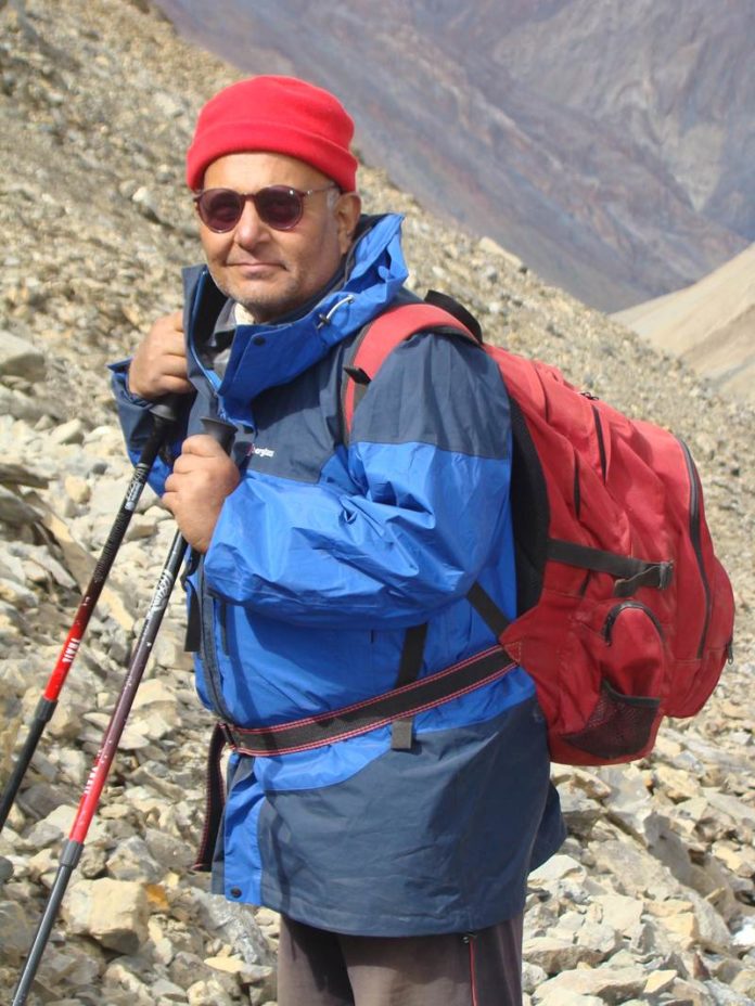
Mountaineer and author Harish Kapadia on his latest book Legendary Maps from The Himalayan Club and the importance of maps.
By Shail Desai
Long before the first map was drawn, geographic landmarks played an important role in defining routes that would eventually lead to the destination. The practice has been prevalent in most cultures around the world — from the peepal ka ped (peepal tree) in the distance, to a distinctive rock by the side of the road — at times, even in this era of digital maps. These markers then get all the more crucial in the high mountains, where there is little scope of bumping into people, let alone ask for directions.
So for instance, when traders back in the day were seeking a way from Yarkand in Central Asia to the markets of Leh in the north of India, the directions went something like this — cross the pass of black gravel (Karakoram Pass), before reaching the Polu (temporary shelter) at its foot, then cross a quiet Chip Chap river (‘Chip Chap’ for quiet), while also warning them of the dangers presented by the turbulent waters of the Shyok River (the river of death; ‘Sheo ’for death). En route, were other natural landmarks such as a treacherous sections called Murgo (gateway to hell; ‘mur’ for hell, go for gate) or manmade ones like Daulat Beg Oldi (where a very rich person has died; ‘Daulat’ for rich, ‘Beg’ for great, ‘Oldi’ for died).
While these can be best described as oral or mind maps, once they were found to be relatively accurate over a period of time, these routes were chalked out on paper, resulting in sketch maps that could be used by those who wished to follow in their footsteps. And after The Himalayan Club was set up in 1928, these maps found their way in its annual publication, The Himalayan Journal, which became a source of reference for explorers and mountaineers around the world in their thirst for discovering new areas and revolutionary routes up high mountains.
The book, Legendary Maps from The Himalayan Club, which is edited by explorer and writer, Harish Kapadia and his team comprising Smruthi Ranganathan and M H Contractor, documents this human thirst for exploration over the decades, as part of the club’s 90th year celebration. The book features 60 such sketch maps from the volumes of The Himalayan Journal over the years, alongside an enthralling story of a gripping adventure taken by those with an appetite to match. “Behind Jakhoo hill in Shimla, two British officers, Kenneth Mason and Geoffrey Corbett first thought of a club that would support mountaineers and climbers. That was when the idea of The Himalayan Club came about — originally called the Mountain Club of India,” Kapadia says at the book launch over the weekend. “When the journal was launched the following year, Mason took over as its first editor. He knew the importance of maps, being a surveyor himself, and included several sketch maps alongside the article. The practice has continued till this day,” he adds. The Himalayan Journal has featured over 500 sketch maps and has been a great source of reference for climbers such as Kapadia.
“I used to refer to a lot of articles from the journal before going out on an exploratory trip or climb. There were several of them on Sikkim that I read, and in 1976 when it became a part of India, we immediately went to explore the region. We researched many articles and maps, before arriving at a route that we chose to follow,” Kapadia says.
The book features wanderings from Himalayan states extending from Jammu & Kashmir to Arunachal Pradesh, including neighbouring Bhutan and Nepal. While climbs up the big mountains have been well documented in the past, the book gives an insight about the equally challenging lower peaks in the East Karakoram, Himachal Pradesh and Uttarakhand. “Though the Survery of India is one of the best map-making organisations in the world, getting information of the border areas is restricted. That is why these maps are important and this book will be great reference for a long time,” Kapadia says.
Source: Mumbai Mirror

Readers like you, make ESHADOOT work possible. We need your support to deliver quality and positive news about India and Indian diaspora - and to keep it open for everyone. Your support is essential to continue our efforts. Every contribution, however big or small, is so valuable for our future.


